Photographs with location metadata are up to several times more “findable” inside digital libraries, because search tools can pin them to a map and filter by distance. That findability isn’t only for archivists: when you weave precise coordinates into a photo essay, viewers follow a path rather than a slideshow, which makes the story easier to remember and share.
So what exactly is geotagging? It’s the practice of attaching location info—usually latitude and longitude—to a photo’s metadata. Phones and many cameras write this into EXIF at the moment of capture; editors can later add or refine place names in IPTC fields. Done right, geotagging turns a sequence of images into a route the audience can retrace, connect to a map, and understand in context.
Before we get into the how, a quick note on tools. You don’t need an enterprise fleet system to benefit from location data, but platforms that consolidate GPS trails, events, and reports can be handy when a project spans weeks and multiple drivers or fixers. Some photographers and small teams use lightweight tracking services for shared vehicles to keep a clean trail and retrieve coordinates reliably; others prefer simple phone logs. If you are already using a vehicle telematics platform such as GPSWOX for travel logistics, you can export the track to enrich your project map later.
Think of geotagging as structure. A migration story makes more sense if each image sits on a path from roost to feeding ground; a street series becomes a walk when viewers can see the alleyways, the distance between scenes, and the way light changes block by block. Even small additions—district, neighborhood, nearest intersection—anchor the image in a mental map. GIS sources define geotagging in technical terms, but the key takeaway for photographers is that coordinates are narrative glue: they connect frames across time and space.
Use the right fields, not just raw coordinates
EXIF stores the bare facts (GPSLatitude, GPSLongitude, altitude, timestamp). IPTC adds the words people can read: Country, Province/State, City, and the more precise Location Created properties. Populate both. Curators and CMS tools search IPTC names faster than decimal degrees, and you still keep the precision for maps and distance filters. IPTC also offers fields for Sublocation (e.g., “Ballarò Market”) and for describing the event. That combination—numbers plus names—is what makes a story navigable.
A field workflow that respects momentum
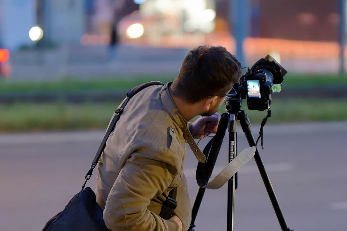
Capture: if you’re on a phone, leave location on for the camera app during the shoot. If you’re on a camera without GPS, keep a GPX recorder running on your phone or in the vehicle. Sync the camera clock to your phone at call time; later you’ll match timestamps to the GPX trail in post. This avoids fiddling with manual tagging between shots and keeps you focused on scenes.
Log: when you move fast—marches, festivals, breaking news—drop quick voice notes naming places, street corners, or contacts. These “soft tags” are priceless when a satellite lock is off or a building canyon throws the fix.
Refine: back at base, batch-apply the GPX to the day’s take, then normalize place names in IPTC. Write consistent spellings and layers (City = “Napoli”; Sublocation = “Quartieri Spagnoli”). Consistency matters more than perfection.
When to hold back
Geotagging is not always appropriate. Sensitive subjects—wildlife nests, domestic violence shelters, undocumented communities, worship spaces that request discretion—may require you to remove GPS from public copies or delay publishing exact spots. The IPTC user guide encourages careful use of descriptive fields; adopt a “privacy by default” mindset and store precise data in a private archive, with a safer, generalized location in the public version.
Try this pattern for a city walk project. Build a simple base map with the day’s GPX. Pick 6–12 frames that show turning points—bridge to market, quiet side street to rally, dusk on the waterfront. For each image, add a one-sentence caption that includes a verb and a place (“Vendors close shutters on Via Roma”). Place markers in order and keep the line between them faint. Readers should be able to follow without reading a legend. If you publish on a site that doesn’t render maps, place a small locator panel at the top: district, nearest transit stop, total distance walked.
Accuracy, drift, and the reality of dense cities
GPS isn’t perfect under trees or between towers. Expect drift of several meters in urban canyons, and more when satellites are low. That’s another reason to fill IPTC with human-readable locations: even if the pin is off by half a block, “Piazza del Mercato, west side” or “under the elevated tracks” makes the image usable. Technical sources and industry histories remind us that GPS traces can be noisy; build your workflow to smooth those edges without obsessing over centimeter precision for documentary work.
If battery life is a concern, run the logger in the vehicle or in a pocketed phone and avoid constant screen-on navigation. You can also record “breadcrumbs” at longer intervals (e.g., 15–30 seconds) and still recover a clean route. Older approaches even captured satellite signal snippets at the moment of exposure and resolved them later on a computer to save power—proof that you don’t need a power-hungry live map to get useful coordinates.
Why photographers should care about the “boring” benefits
Consumer GPS articles often focus on safety, cost, and maintenance. Surprisingly, those points help photographers too. A clean location trail lets you rebuild a day’s movements quickly, defend your timeline, and find missing frames before a deadline. Fleet-style writeups note that GPS data supports recovery and accountability; in the photography context, that means better notes, faster edits, and fewer gaps when editors ask “Where was this, exactly?”
Normalize capitalization and language early. Choose English or local names and stick to one system; avoid mixing “Roma” and “Rome” in the same set unless the story calls for it.
Version your exports. Keep a master with full EXIF+IPTC and a public copy with stripped or generalized location where needed. Many CMSs read IPTC on ingest; clean fields prevent junk from becoming your archive forever.
Document your approach in the caption. If you shift a pin for safety, say so. If coordinates reflect a newsroom pool position rather than the photographer’s exact spot, make that clear in the notes.
Case study recipe you can copy
Brief: weekend essay on a neighborhood market evolving under tourism pressure.
Prep: set camera clock to phone; enable phone GPS; create a short list of key corners to check at different hours; print a simple base map.
Shoot: morning setup, noon rush, late cleanup. Mark stalls or entrances with short voice notes. Take one wide establishing shot at each corner that shows signage you can later confirm.
Ingest: sync GPX to images; apply city/district/sublocation in IPTC; add a “route” graphic with 6–8 calm markers, not a spaghetti tangle.
Publish: lead with the locator panel; keep captions active (“buyers bargain under the awning on Via X”). Offer a footnote about map generalization if you shifted anything for privacy.
Common mistakes that break the spell
GPS everywhere: flooding an essay with pins is noise. Pick beats in the route that matter to the story. If your map looks like confetti, you’re mapping the day, not telling a tale.
Copy-paste place names: platforms disagree on neighborhood boundaries and spellings. Verify with local signage or municipal datasets, then stick with a single source in IPTC.
Forgetting time: coordinates without the right timestamp can mislead. Check your camera clock weekly on long projects, especially across time zones or daylight-saving changes.
If your story touches on technique, link to a short definition of geotagging for readers who want a primer, and add a note that you follow IPTC’s naming fields for location. Editors appreciate seeing standards referenced; it signals that your metadata will behave in their system.
You can get excellent results with what you already carry: a phone for GPX logging, your camera, a power bank, and a habit of syncing time. If you drive, log the vehicle track as a backup—even if you never publish it. That trail can save hours when reconstructing a complex day or defending a timeline to a fact-checker. GPS consumer blogs point out the “hidden” advantages of having consistent logs; in photo work those advantages translate to cleaner edits and fewer disputes about where and when a frame was made.
Geotagging is not a trick—it’s a narrative device. The combination of precise EXIF coordinates and readable IPTC place names lets you build paths, not piles. Keep a lightweight logging habit, normalize names, respect privacy, and map only what serves the story. If you do those four things, your photo essays become walkable. And once viewers can literally “follow your steps,” they stay with your work longer.


